culture
Little Sugar Creek Greenway Reopens, Expands Charlotte's Connected Trail Network
Renewed stretches of the Cross Charlotte Trail network, including the Little Sugar Creek Greenway, are reinforcing the city's identity through connected green spaces and recreation.
How we reported this
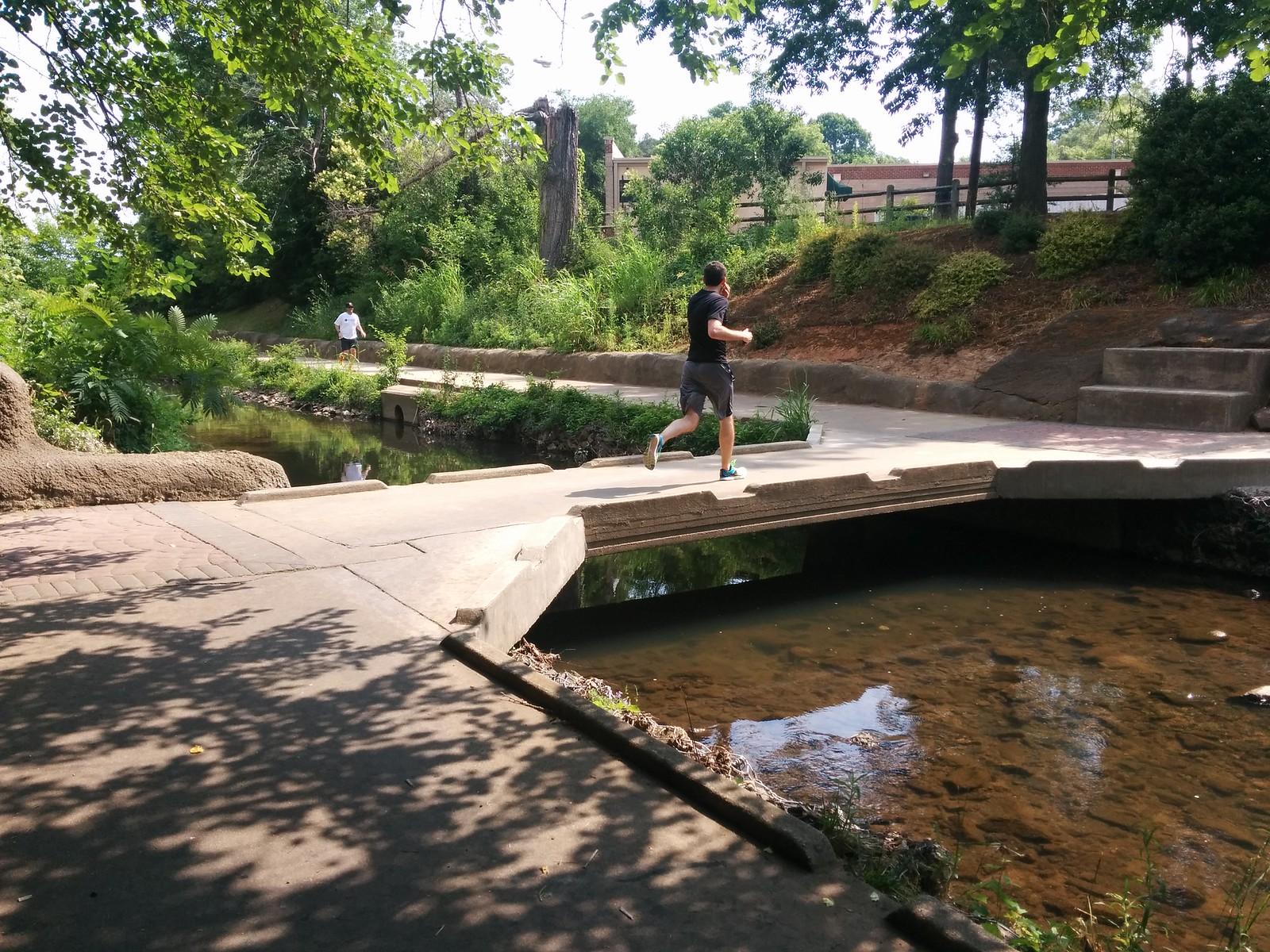
A stretch of the Little Sugar Creek Greenway near Freedom Park has reopened, restoring continuous access along one of the city's key urban trails. This segment forms part of the broader Cross Charlotte Trail system that links neighborhoods across Charlotte.
Connecting Daily Life to the Outdoors
The Little Sugar Creek Greenway and related routes such as Anne Springs Close Greenway provide residents with direct paths for hiking and biking that run through and near the city. These corridors tie Uptown Charlotte to surrounding areas, allowing people to move between built environments and natural settings without relying solely on roads. The network supports a growing emphasis on outdoor routines that blend exercise with everyday movement through the urban landscape.
Charlotte's location places these trails within easy reach of larger regional features. Crowders Mountain State Park sits 24 miles south along I-85, while Lake Norman lies 20 miles north. The US National Whitewater Center, 15 to 20 minutes from Uptown, adds rafting, climbing, and 50 miles of trails on its 1,300-acre property. Together these options create a layered system where short urban segments connect to longer excursions.
Shaping Local Identity Through Shared Spaces
Greenway routes encourage repeated use by walkers, cyclists, and families, turning linear paths into communal corridors. The Cross Charlotte Trail, which includes the Little Sugar Creek Greenway, extends this pattern across multiple neighborhoods. As segments reopen, the continuous route becomes more usable for regular travel and leisure, reinforcing a citywide habit of incorporating green infrastructure into daily patterns.
Within a two-hour drive, the Pisgah area offers 10,400 acres of forest with waterfalls along the Little River and Grassy Creek. This proximity allows Charlotte residents to treat the local greenways as gateways rather than isolated amenities. The result is a cultural emphasis on accessible nature that distinguishes the city from purely urban centers elsewhere.
Evidence of the network's reach appears in the documented trail mileage and activity counts at these sites. The US National Whitewater Center alone lists more than 30 activities, while Crowders Mountain provides over 20 miles of trails. These figures illustrate the scale available once urban connectors like the Little Sugar Creek Greenway function without interruption.
Practical Steps for Using the Network
Residents can access maps and updates through the Charlotte Area Transit System resources at its main office on East 4th Street or via local parks information channels. Combining short greenway segments with visits to the Whitewater Center or Crowders Mountain creates varied outings that highlight the city's connected outdoor assets. Checking current conditions before travel remains the most direct way to plan routes along the reopened sections.